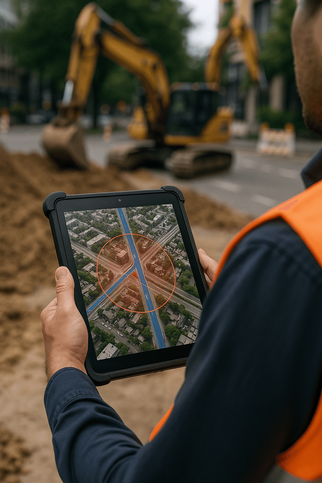
Plan excavation projects by scheduling dates and viewing projected impacts.
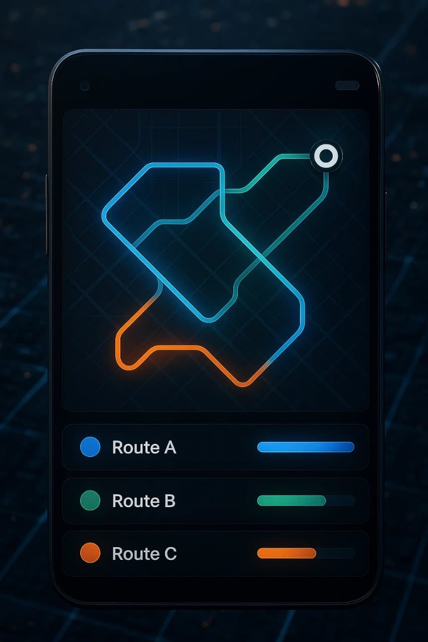
Leverage multiple routing algorithms to optimize travel paths.
Select excavation areas with a custom radius to visualize effects on routes and traffic flow.
Add your own junction points to the map and analyze their impact on routing.
Adjust routing dynamically based on current conditions to maintain smooth traffic flow by receiving updates on traffic density, congestion, and road closures.
Use AI-driven models to propose alternative routes based on multiple constraints and automatically generate and compare different routing plans to optimize efficiency.
Access a robust analytics dashboard that visualizes traffic patterns, historical trends, and predictive insights.Export detailed reports (PDF, CSV) to share actionable insights with stakeholders.
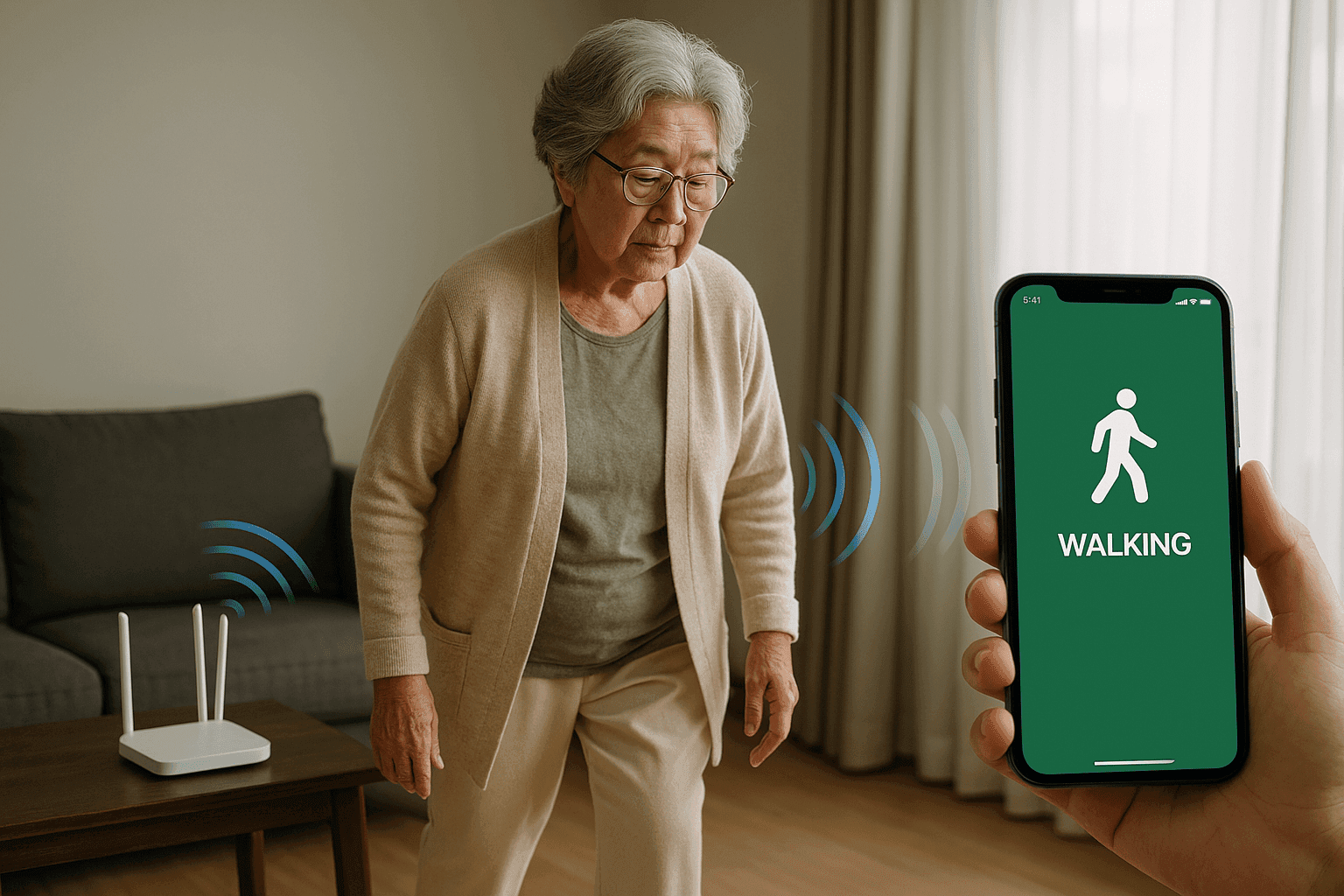
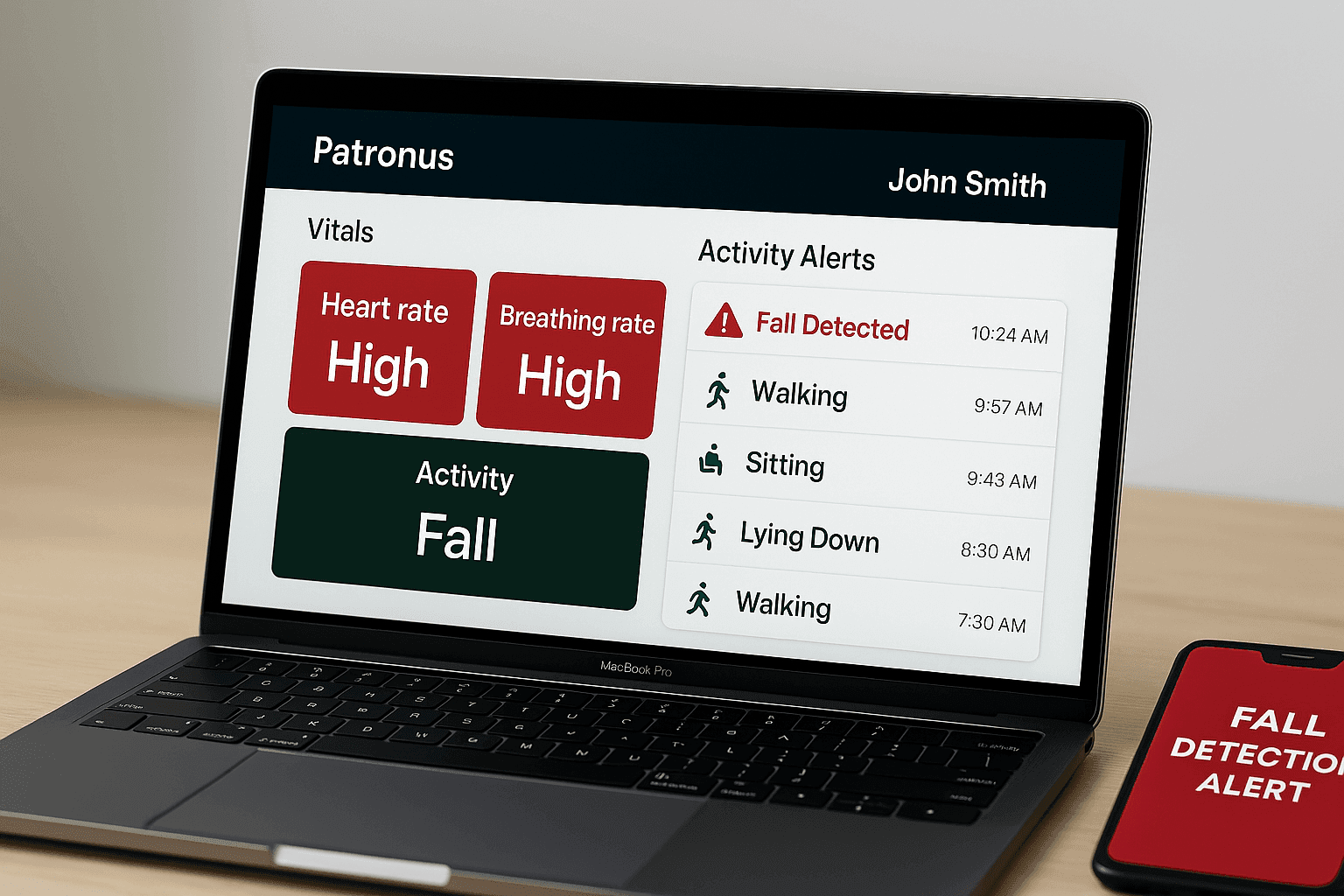
Continuously tracks heart rate using Wi-Fi signal variations—no contact required.
Estimates real-time breathing rate through subtle signal changes, completely non-invasive.
Detects falls instantly and sends alerts to caregivers or family.
Identifies walking, sitting, standing, laying, jumping, empty room, and fall events.
Leverages existing home Wi-Fi and a single receiving device—eliminating the need for wearables or sensors—offering a cost-effective, comfortable, and easily deployable solution for elderly care across multiple homes.
Provides instant alerts and live monitoring through an intuitive dashboard.
Safely stores data and allows caregivers to monitor patients from anywhere, anytime.
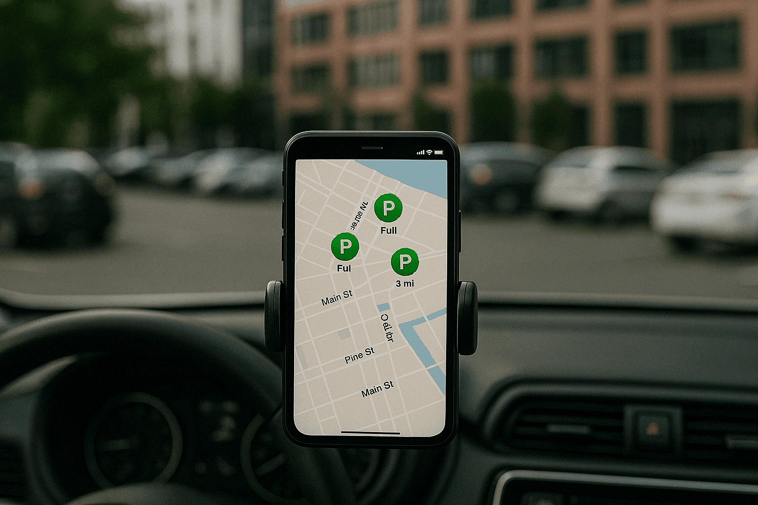
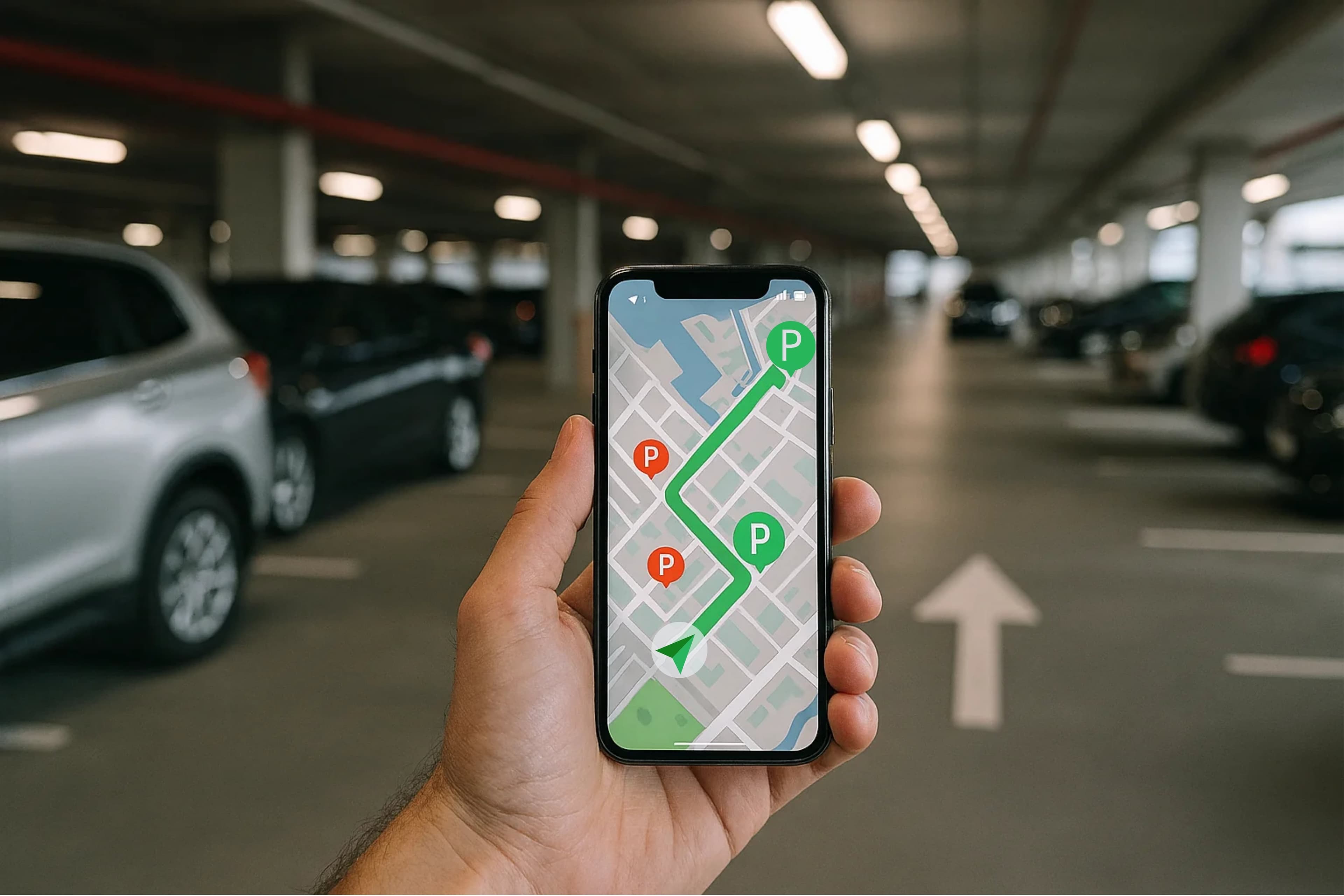
Quickly locates available parking spaces using real-time data.
Enables seamless booking and secure, integrated digital payments.
Provides dynamic routing to available spots, enhancing user convenience.
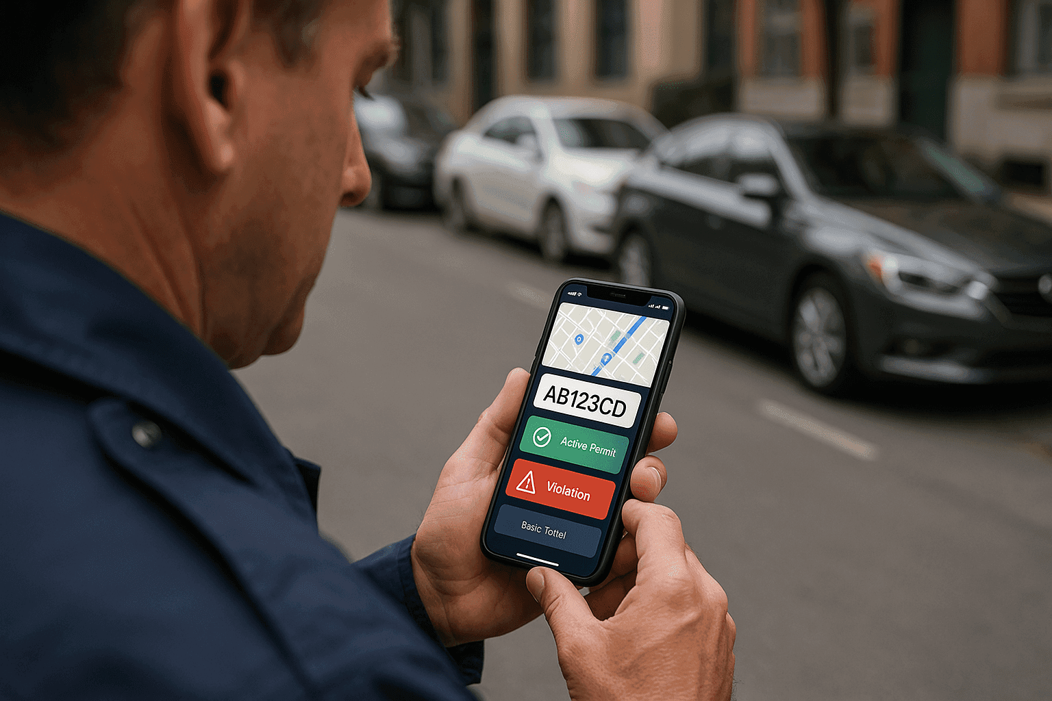
Equips parking authorities with efficient management and compliance features.
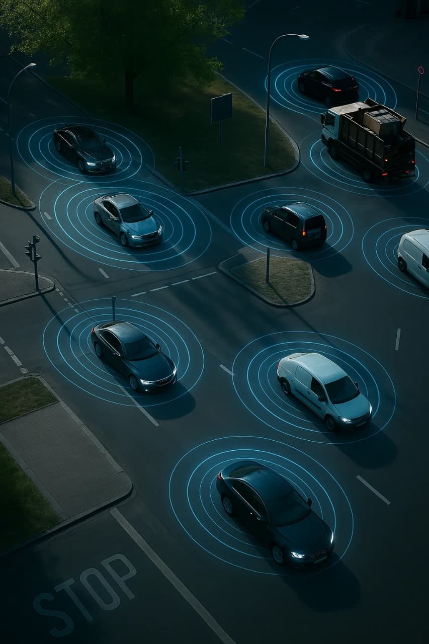
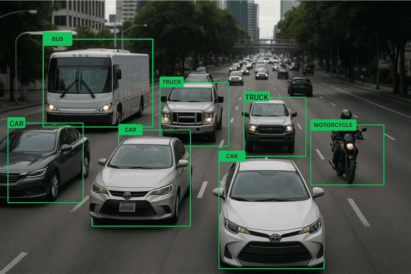
Employs cutting-edge YOLO V10 technology to classify various vehicle types accurately.
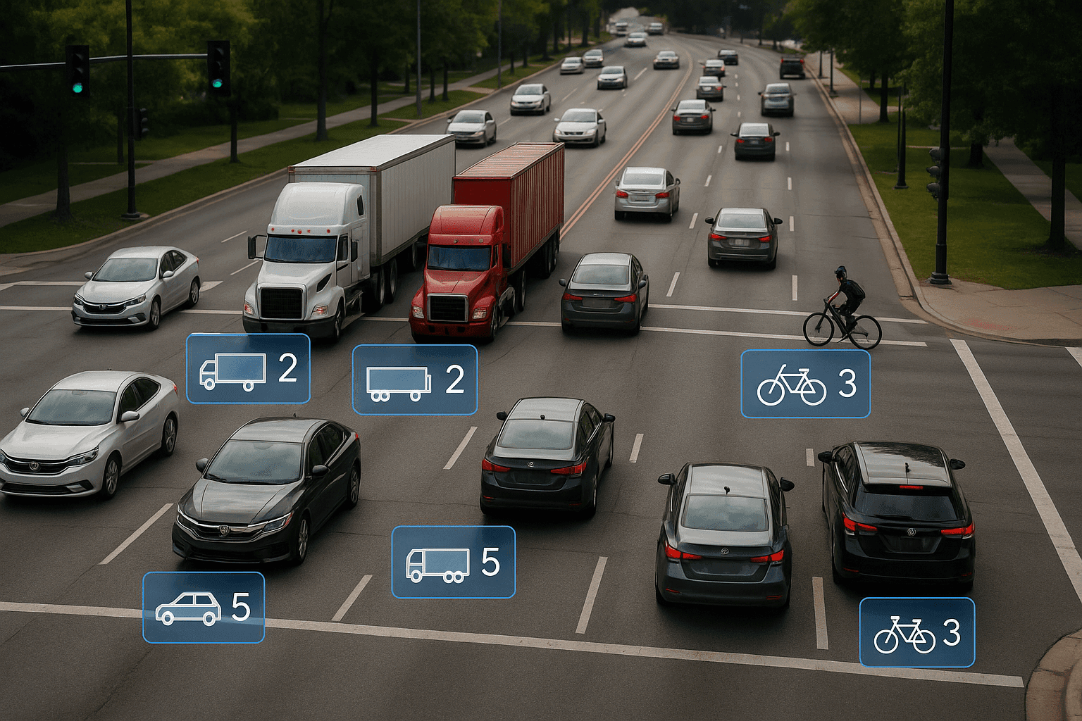
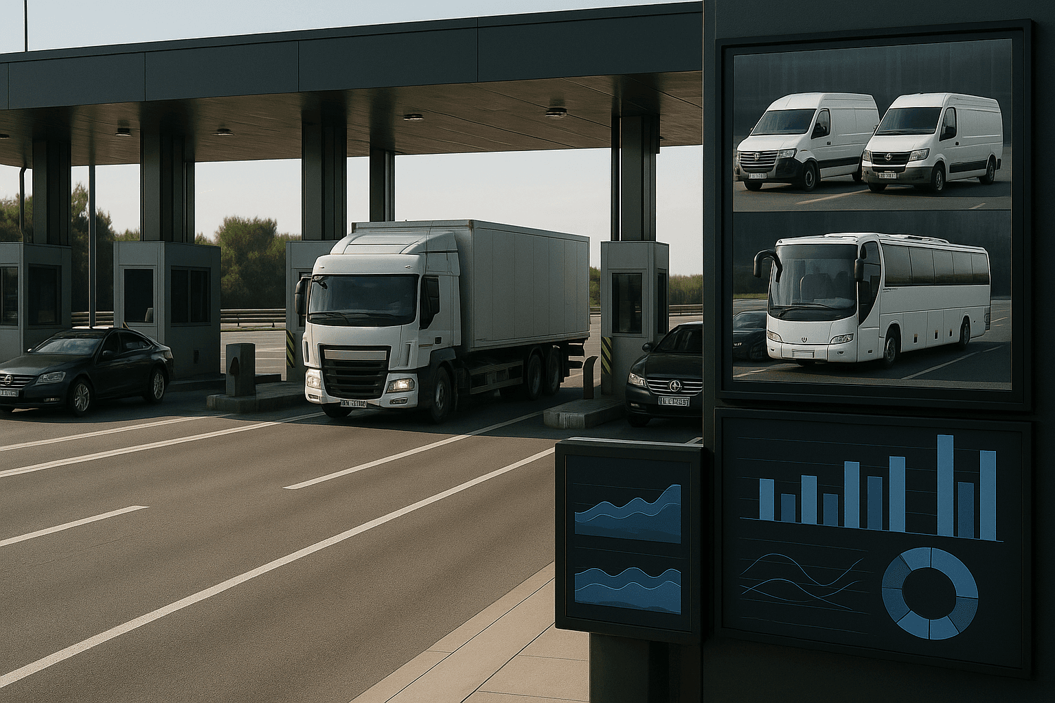
Delivers instant data on vehicle types and quantities for dynamic traffic management.
Enables data-driven strategies to alleviate congestion and optimize city layouts.
Integrates seamlessly with smart infrastructure to provide comprehensive traffic solutions.
Facilitates automated decision-making for traffic routing and resource allocation.
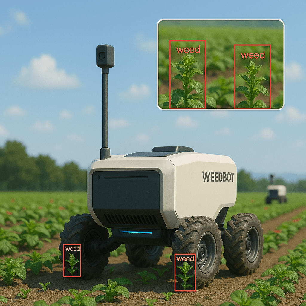
Physically removes detected weeds using mechanical cutters.
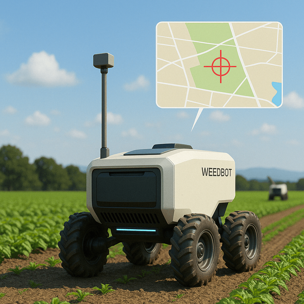
Sends GPS coordinates of weed clusters to a central system for farm-wide tracking.
Targets and eliminates weeds efficiently with automated pesticide deployment.
Roams the field independently backed with advanced routing algorithms, covering large areas without manual intervention.
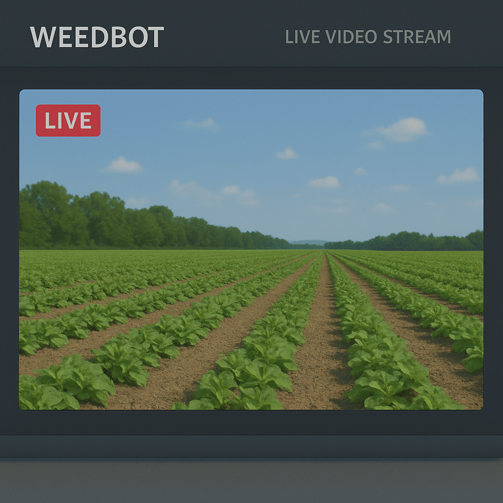
Provides continuous visual monitoring through a CSI camera integrated with the GPU.
Triggers alarms upon detection and logs data for further analysis.
Adaptable to identify other plant anomalies or contaminants beyond weeds.
Utilizes YOLO vision models for real-time and accurate weed recognition in crop fields.